

Severe Weather and Flooding Threats Escalate for McKenzie and Surrounding Areas
From the Apr 8, 2025 e-Edition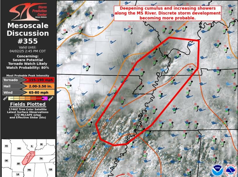
McKENZIE (April 2) - The National Weather Service in Memphis has issued an Extreme Weather Advisory for Carroll, Henry, and Weakley counties, warning of a “Particularly Dangerous Situation” unfolding across West Tennessee through the weekend. As of 1:00 p.m., the region is under a Flood Watch, a Wind Advisory, and a Level 5 High Risk severe weather outlook—the most serious issued classification by the Storm Prediction Center.
Forecasters warn of a two-fold threat: a tornado outbreak beginning late afternoon, and catastrophic, potentially generational flooding across river basins and low-lying areas through Saturday. A series of slow-moving supercells is expected to move across West Tennessee beginning after 2:00 p.m., with the highest tornado risk between 6:00 p.m. and midnight. Strong, long-track tornadoes rated EF2 to EF4 are possible, along with large hail and straight-line wind gusts exceeding 70 miles per hour.
The flood threat is now classified as exceptional. Rainfall totals of 8 to 15 inches are forecast between Wednesday and Saturday. The NWS warns of “generational flooding” with the potential for widespread river, areal, and flash flooding across the entire watch zone. Flooding of creeks, rivers, roadways, urban basins, and low-lying areas is likely to develop quickly—especially after dark. Conditions are expected to worsen significantly overnight and continue deteriorating into Thursday.
The Wind Advisory remains in effect until midnight, with south winds sustained at 20 to 30 mph and gusts up to 50 mph. Isolated power outages are likely, especially as saturated soils weaken root systems and increase the risk of downed trees and utility poles.
The following counties are under direct warning: Carroll, Henry, Weakley, Benton, Gibson, Madison, Dyer, Obion, Tipton, Crockett, Haywood, Lauderdale, and Shelby, along with adjacent areas in southeast Missouri and northeast Arkansas. McKenzie lies directly within the high-impact corridor.
Residents are urged to avoid all travel after 4 p.m., secure outdoor items immediately, and finalize shelter preparations now. Floodwaters may rise rapidly overnight and render escape routes impassable. Emergency personnel may be delayed in reaching certain areas due to impassable roads and active storm systems.
This is a Particularly Dangerous Situation, according to the National Weather Service. Officials advise the public to treat all warnings as serious and to act immediately if a tornado or flood warning is issued for your location. Lives and property will be at risk.
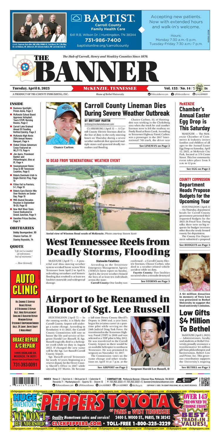
In the e-Edition
McKenzie Banner April 8, 2025
Apr 8, 2025 · Read the full issue →
Related Stories
Glow Walk to Bring Awareness, Prevention of Suicide
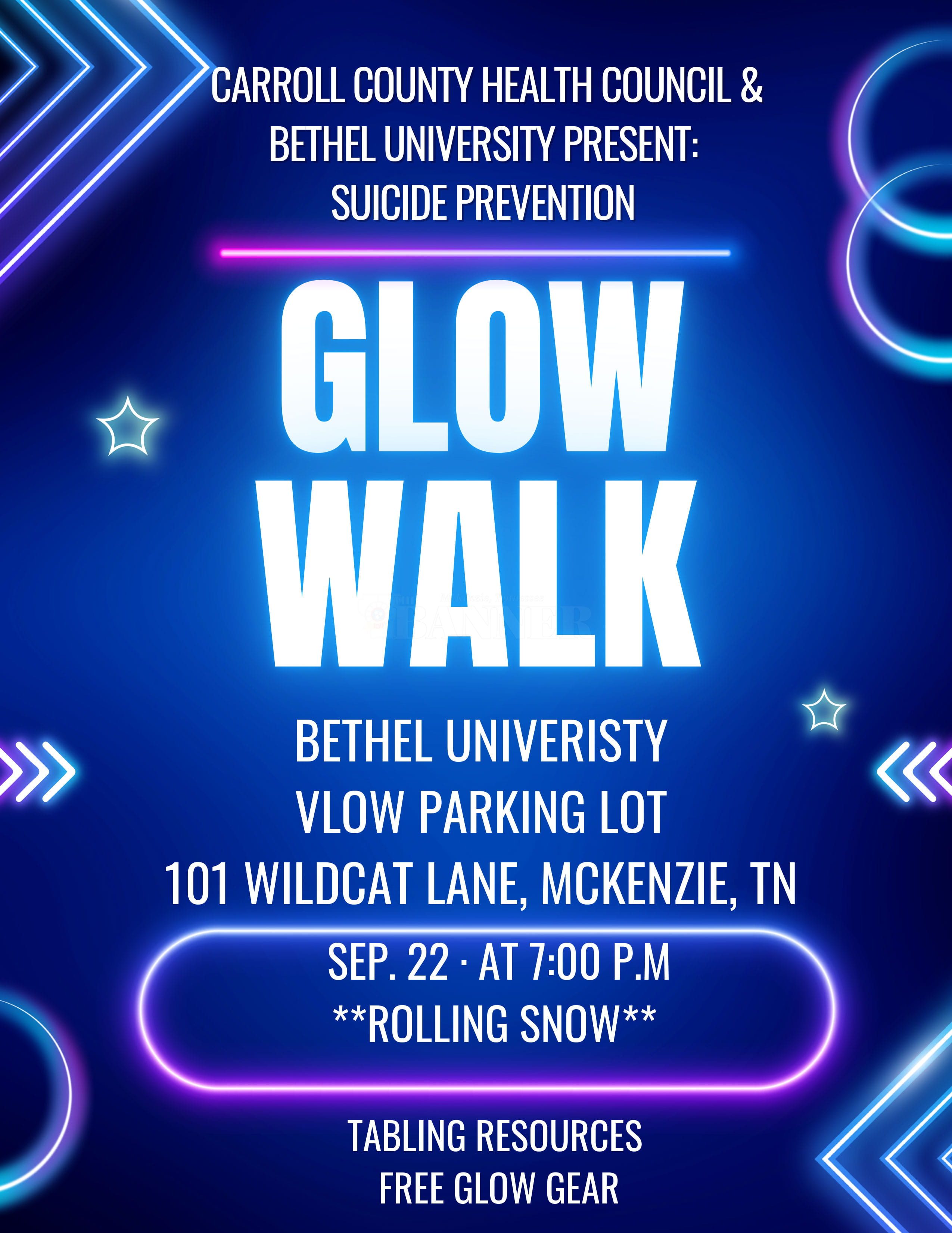
McKENZIE, Tenn — The Carroll County Health Council, in partnership with Bethel University, will host a Suicide Prevention Glow Walk on Tuesday, Sept. 22, at 7 p.m. to raise awareness and bring community members together in support of suicide prevention.
Sep 13, 2026
West Carroll Students Attend "Flip the Switch" at Solar Farm
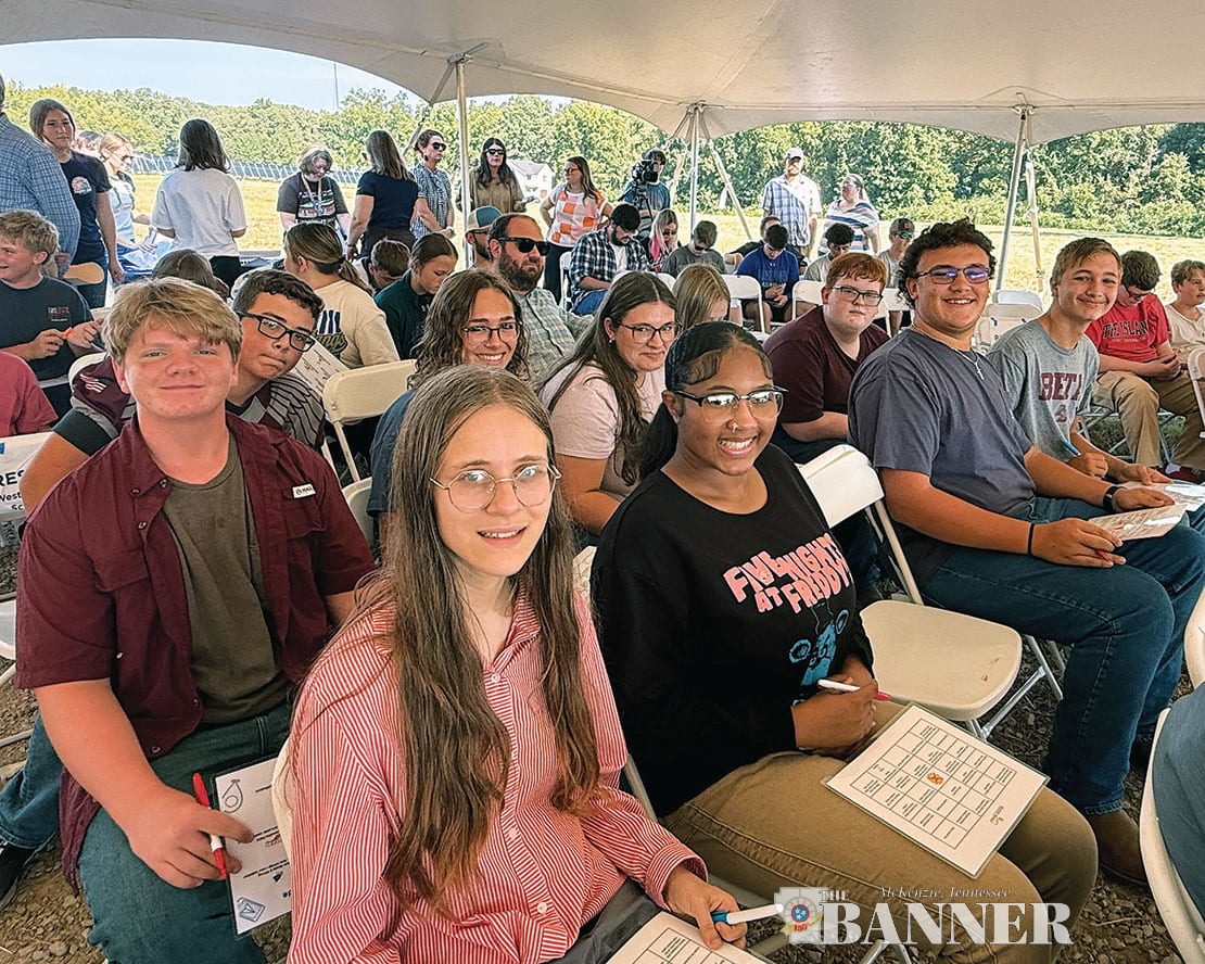
West Carroll students had the opportunity to be part of an exciting moment for our local community this week as they attended the Trezevant Solar Farm “Flip the Switch” event!
Sep 13, 2026

Cash Express Honors McKenzie’s First Responders
McKENZIE (September 11) — On Friday, Cash Express honored McKenzie Police (MPD), McKenzie Fire & Rescue (MFD), and Baptist-Carroll County Ambulance first responders with cakes decorated with the American flag and cards signed by McKenzie businesses thanking them for their…
Sep 11, 2026
9/10/26 Episode of Guys Talking Football with Russell Bush and Eric Swenson Podcast is Live Now!
Introducing a new-to-The Banner weekly podcast titled, "Guys Talking Football" with Russell Bush and Huntingdon High School Head Football Coach Eric Swenson. Russell Bush is a sports writer and photojournalist for The Banner with over 25 years of experience. Russell joined The…
Sep 10, 2026