

Tornadoes and Flooding Leave Trail of Damage, Threats Continue
From the Apr 8, 2025 e-EditionMcKENZIE (April 4) — From April 2 to April 4, a powerful system of storms and flooding left widespread damage across West and Middle Tennessee, including multiple tornadoes, road washouts and confirmed fatalities in the Tri-County area and beyond. As of 5:00 p.m. Friday, emergency declarations remain in effect across all 95 counties, with the State Emergency Operations Center activated at Level 3 – State of Emergency.
The Tennessee Department of Health has confirmed five weather-related fatalities statewide, including one in Carroll County, where lineman Chance Carlton, 32, of Huntingdon, died April 3 while responding to storm impacts as an employee of Carroll County Electric.
Tornado Touchdowns and Warnings
More than 225 tornado warnings were issued across the region between April 2 and April 4, according to preliminary data. Two significant touchdowns were confirmed in the Tri-County region:
- In Selmer, an EF-3 tornado on April 3 caused widespread destruction, resulting in at least four deaths and more than 20 injuries, according to state officials.
- In Martin, a tornado touched down on the evening of April 2 near Chestnut Glade Road, damaging 10 homes—one of which was a total loss—along a 13.4-mile path. EMA reported wind estimates between 80–90 mph.
Fayette and Obion counties each reported one fatality.
Flooding and Infrastructure Damage
As of 12:00 p.m. Friday, multiple Flood Warnings remain active, with major rivers expected to crest well above flood stage through early next week:
- The Mississippi River at Osceola is forecast to reach 37.1 feet by April 15.
- The Obion River near Martin is projected to crest at 22.5 feet Sunday evening, prompting evacuation warnings for rural communities.
- River flooding is also expected along the Loosahatchie, Wolf, Forked Deer, and Hatchie Rivers, affecting counties including Carroll, Henry, Weakley, Dyer, Tipton, Shelby and Madison.
In Carroll County, Spring Creek Road remains flooded. EMA Director Trevor Foster confirmed three water rescues occurred in the last 48 hours. In Henry County, two rural roads—Highway
140W and 3 Bridges Road—were washed out, and Park Street in Paris experienced flood damage. Full damage assessments are pending.
Utilities and Emergency Services
As of 9:00 a.m. on April 4, approximately 2,600 customers remained without power statewide—a sharp decline from the 15,400 outages reported the previous morning. In the Tri-County area, restoration efforts have beed largely completed. As of 5:36 p.m., Carroll County Electric Department reported only one active outage across its entire service area.
Flooding also impacted critical infrastructure. Two wastewater lagoons in Huntingdon—located at Highway 22 and Barnett Street—were inundated. In Selmer, the municipal sewage system suffered power failures at 10 lift stations. All affected sites remain under active mitigation.
Emergency and Forecast Updates
Shelters have been opened at Harrelson, Henry and Lakewood Schools in Henry County and at Inman and Rhea Schools in Paris. The state’s Crisis Cleanup hotline (615-488-1875) remains active for residents needing help clearing storm debris.
As of 4:00 p.m. April 4, the National Weather Service continues to warn of life-threatening flash flooding through April 5 across West Tennessee, with an additional 4–8 inches of rain possible on already saturated ground.
A Tornado Watch remains in effect until 10:00 p.m. Friday for all of West Tennessee, and a Flood Watch continues through Sunday morning for the entire region.
Residents are urged to stay alert, avoid flooded roads and monitor updates.
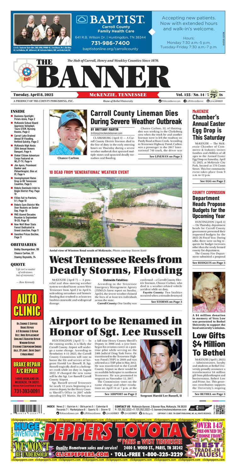
In the e-Edition
McKenzie Banner April 8, 2025
Apr 8, 2025 · Read the full issue →
Related Stories

West Carroll Students Attend "Flip the Switch" at Solar Farm
West Carroll students had the opportunity to be part of an exciting moment for our local community this week as they attended the Trezevant Solar Farm “Flip the Switch” event!
Sep 13, 2026

Glow Walk to Bring Awareness, Prevention of Suicide
McKENZIE, Tenn — The Carroll County Health Council, in partnership with Bethel University, will host a Suicide Prevention Glow Walk on Tuesday, Sept. 22, at 7 p.m. to raise awareness and bring community members together in support of suicide prevention.
Sep 13, 2026

Cash Express Honors McKenzie’s First Responders
McKENZIE (September 11) — On Friday, Cash Express honored McKenzie Police (MPD), McKenzie Fire & Rescue (MFD), and Baptist-Carroll County Ambulance first responders with cakes decorated with the American flag and cards signed by McKenzie businesses thanking them for their…
Sep 11, 2026
Trezevant Solar Farm Flip-the-Switch Event Happening Now
Carroll County Electric Department (CCED) and Tennessee-based Silicon Ranch , owner and operator of one of the nation’s largest fleets of solar facilities and a community-focused energy infrastructure company, invite you to attend a “Flip-the-Switch” ceremony for the new…
Sep 10, 2026